Press release date: 6th November 2019
Known for their endless beaches and stunning weather, the Canary Islands are a paradise for trekkers – home to some of the oldest forests in the world, moon like landscapes and the third largest volcano on the planet.
Here are some of the best trails which take you from the sea to the sky in the Canary Islands.
The 0-4-0 route in Tenerife
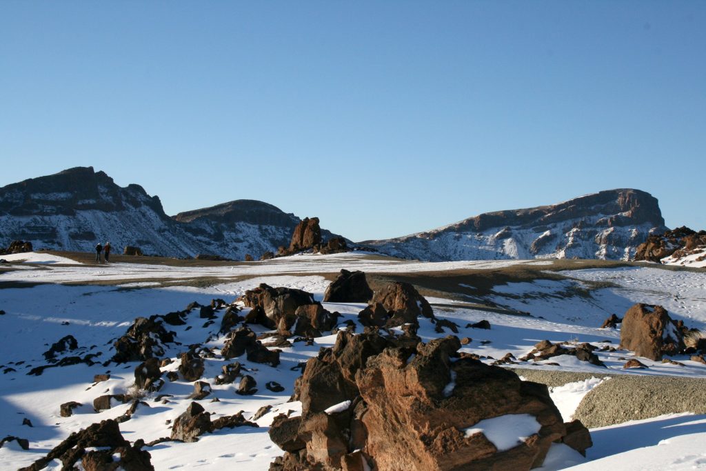
Known as the 0-4-0 route, for it starts at sea level and goes all the way up to 4.000 meters, the trail that connects Tenerife’s El Socorro beach and the top of Teide is unlike any other in the world.
The beginning is a long and slow ascent starting at the beautiful dark sand of El Socorro through green pine forests up to the Mirador del Asomadero. From here the views across the Valley of Orotava and mount Teide, the world’s third tallest volcano, are spectacular. As the ascent continues, the landscape changes colour becoming drier and brings you towards Riscos de la Fortaleza. The trail continues toward Huevos del Teide, Montaña Blanca and the top of Teide.
This is a sensational trek of around 28 kilometres and is suited for medium to expert climbers or beginners with the right guide and equipment.
Los Gracioseros in Lanzarote
Los Gracioseros is a delightful walk with splendid views off the coastal area of Lanzarote.
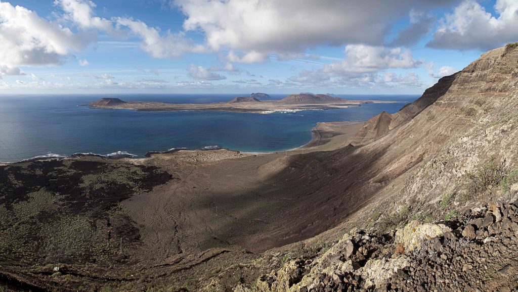
As well as the enjoyable walk, this route allows you to experience the fauna and flora of the area which has several protected native species. The trek will bring you along the cliffs of Famara, in the north, with the island of La Graciosa across the Río. As a reward after the hike, a swim in the blue waters of the Río is a must.
It’s four kilometres long and can be quite difficult as the trek along the volcanic rocks can be somewhat slippery at times and ends at sea level.
Punta de Alcalá in La Gomera
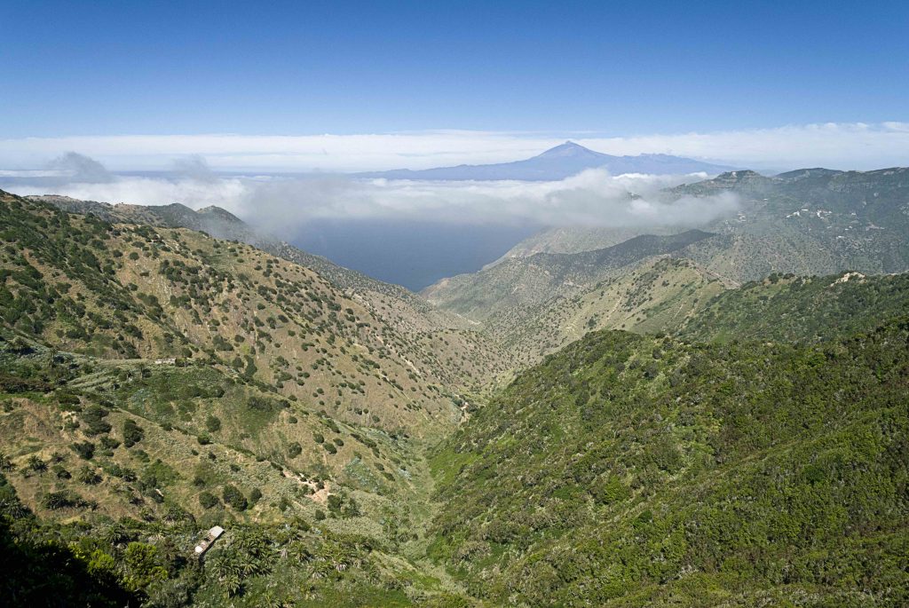
The hike from Vallehermoso Beach to Punta de Alcalá at the north coast of La Gomera offers astonishing views of La Palma to the northwest and the Teide volcano in the middle of the sea.
The path which goes from sea level to the beautiful viewpoint at Punta de Alcalá is bordered by lush vegetation and palm trees. It also features views of Los Organos, a cliff of ancient volcanic rocks in the shape of organ pipes falling vertically into the sea.
Montaña de las Presas in Gran Canaria
Some claim this to be one of the most beautiful hiking routes of Gran Canaria: it begins at the Guayaedra Beach and brings you to Montaña de las Presas and back.
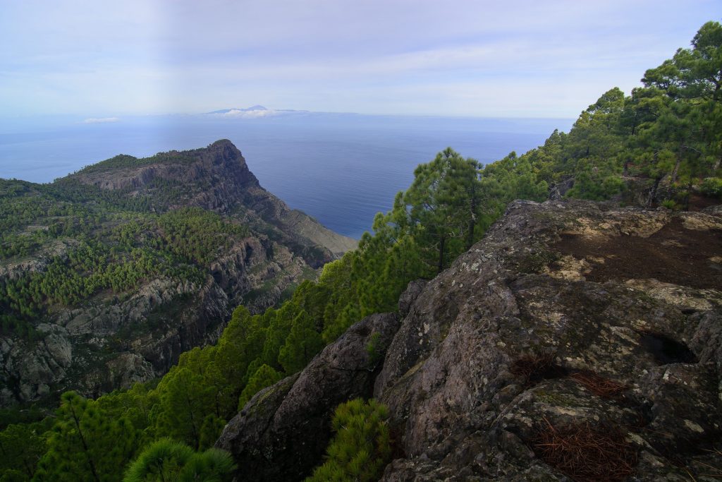
Starting and finishing at the beach through an oasis, alpine meadows on top of the cliffs of Agaete and the lush Tamadaba pine forests, this 17-kilometre-long route climbs all the way up to 1.087 meters.
Although it’s quite steep, the tracks are very well kept as are the sign posts thus making it suitable for those looking for some moderate exercise during their getaway.
Mencáfete in El Hierro
Despite being the smallest of the Canary Islands, El Hierro is packed with natural wonders like rich forests, sea cliffs, lava features and an exuberant coat of vegetation that make it worthy of its UNESCO World Biosphere Status.
This affordable 7 km long route from the Arenas Blancas beach to Mencáfete allows you to discover all of El Hierro’s natural wonders.
From Arenas Blancas, the route takes off passing Pozo de la Salud, a medical mineral water spring, and enters the Mencáfete Integral Nature Reserve and on to the damp juniper and Monteverde forests.
The fresh water of the fairytale-like Mencáfete spring at 923 meters altitude is the reward for those who cover the whole route.
Teneguia and San Antonio volcanoes in La Palma
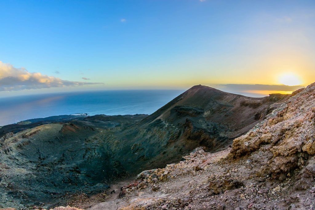
Walking from Fuencaliente beach and lighthouse to Teneguia and San Antonio volcanoes is a must do for those who want to discover La Isla Bonita on foot.
This trail in the south of La Palma is a breathtaking experience and the view from Teneguia is one of the most impressive sights the island has to offer.
The volcano last erupted in 1971, and the southern cape was virtually completely covered by lava. Only a small patch, where the lighthouse is located, was saved from the flows.
San Antonio volcano sits at 644 meters of altitude and the whole trek amounts to around 10 kilometres in length.
Degollada de Agua Oveja in Fuerteventura
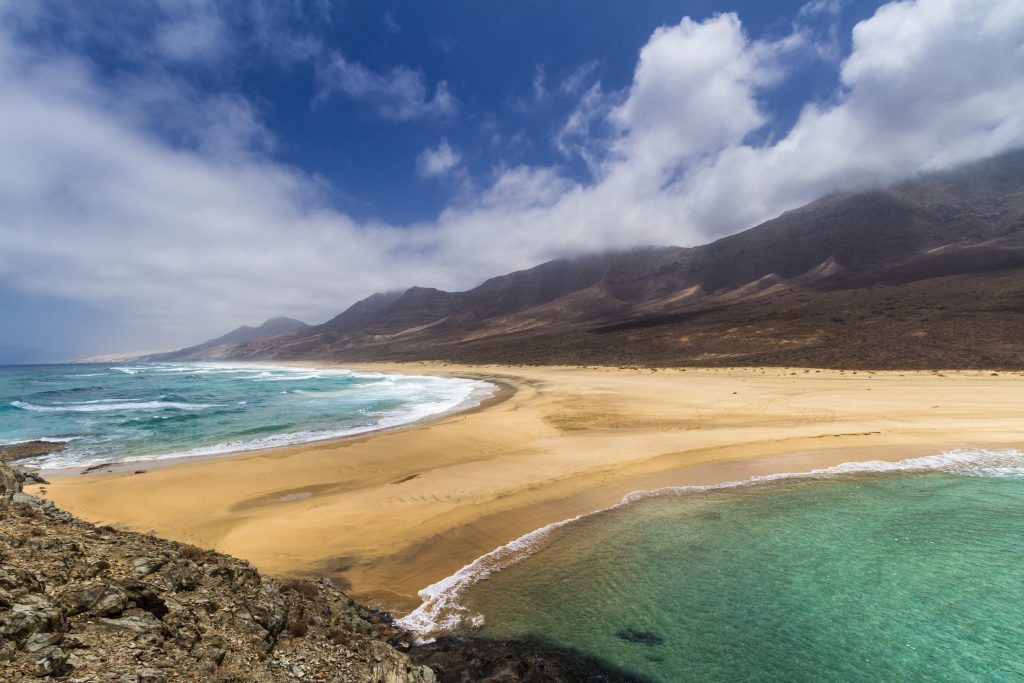
Cofete beach is considered by many as one of the most beautiful beaches in Europe: a section of coast 12 kilometres long with no trace of civilization.
What better experience than bathing in it and watching it from above in one day: the trek from the beach to Degollada de Agua Oveja in the Jandia Mountain Range allows you to do so.
It’s better to wait for a windless day to reach the impressive 230 meters high viewpoint of Agua Oveja, since it’s located in the windward side of the island.
The sea can get rough as well, and it’s better not to venture too far out: the currents are strong and so are the waves. But, just watching it is pleasant enough.
Montaña Amarilla in La Graciosa
This is a unique route which runs close to the ocean with fantastic sea views and stunning panorama views of Lanzarote.
Starting in Caleta de Sebo beach, the route crosses over to the west side of the island on sandy, wide trails. It then takes you down to the southwest point along the coastline on easy and wide dirt tracks.
The route arrives at volcano Montaña Amarilla, and from here to a second volcano, Montaña Bermeja, in the most northwestern corner of the island.
Along the northern coast, the trails become more volcanic and therefore more technical but plunging in the crystal clear waters in Caleta de Sebo will definitely help you recover!
https://www.hellocanaryislands.com/
For more information on the Canary Islands, please email niamh@travelmedia.ie
TravelMedia.ie
Niamh Waters
086 0492394
niamh@travelmedia.ie
Michael Collins
086 8583585
michael@travelmedia.ie
Dani Roche
dani@travelmedia.ie


